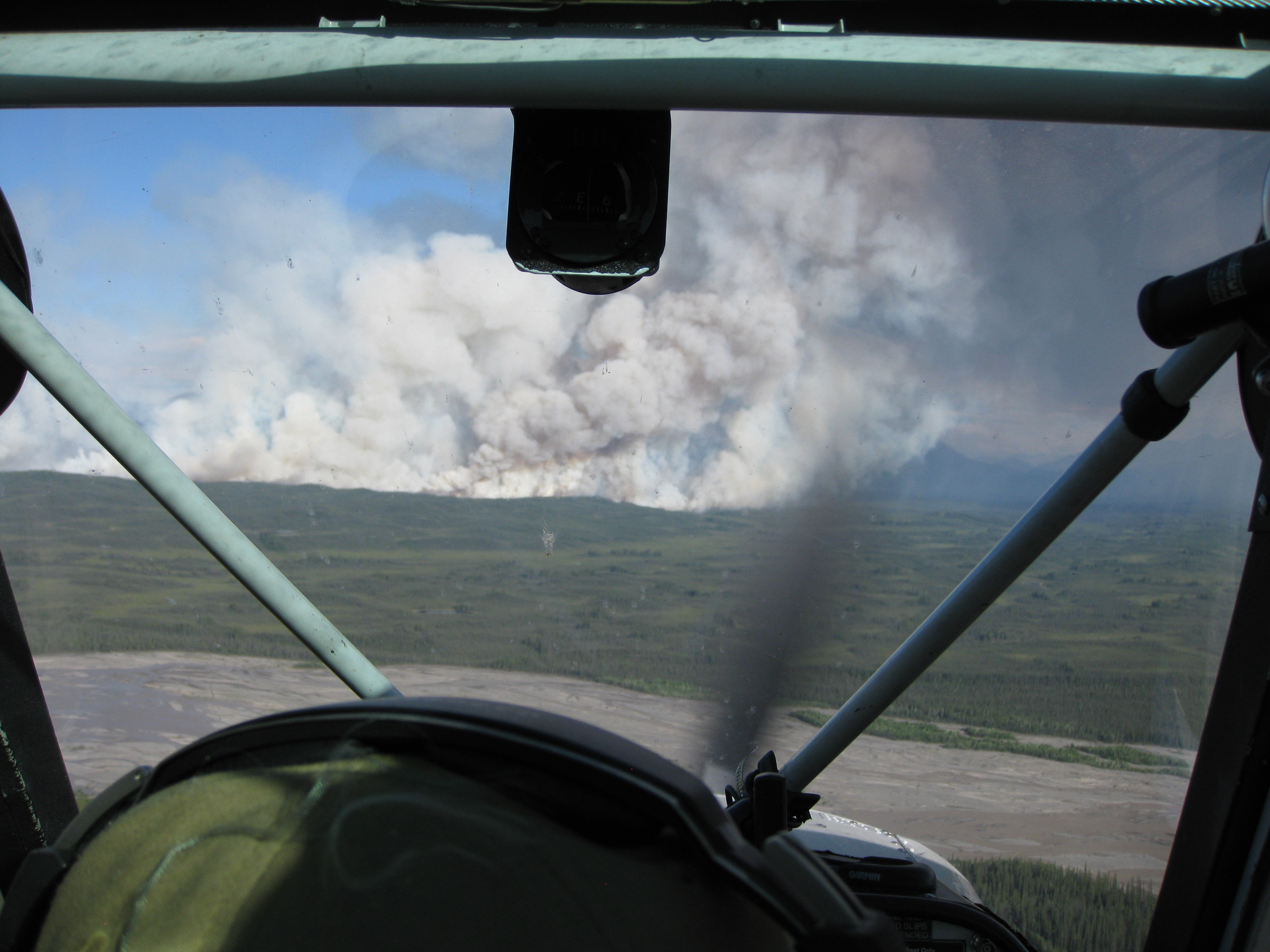
burned 3,847 acres in Tetlin Wildlife Refuge and 3,871 acres in Wrangell-St. Elias NP. The increased fire activity resulted in a 10,000 foot column of smoke that was visible from the Alaska Highway in Yukon Territory, Gulkana and McCarthy. Smoke from the fire can likely be seen and smelled in the Copper River Basin. Today, forecast extreme fire conditions will likely contribute to continued large fire growth and a large and visible column of smoke.
The Chisana River Fire is located 82 miles east of Slana, 37 miles northeast of Chisana, 19 miles southwest of Beaver Creek, Canada and approximately 14 miles southwest of the Alaska Highway border crossing. The U.S. Fish and Wildlife Service, Wrangell-St. Elias NP and State of Alaska Division of Forestry fire staff will continue to monitor the fire closely, documenting fire behavior and growth. Interagency fire managers will take action if structures, natural or cultural resources are threatened. None are threatened at this time. Fire managers are also communicating with Yukon Territory officials on a daily basis.
Staff are allowing the wildfire to take its natural course. Wildfire is a natural process in the boreal forest. It is nature's way of renewing and revitalizing the landscape. Naturally-caused wildfires have on occasion burned in the northeastern portion of Wrangell-St. Elias and Tetlin National Wildlife Refuge. Visit http://www.nps.gov/wrst/parkmgmt/loader.cfm?csModule=security/getfile&pageID=385664 to see a map of the area's wildfire history.
Visit http://www.nps.gov/wrst/parkmgmt/currentfireinfo.htm for current fire information.


No comments:
Post a Comment