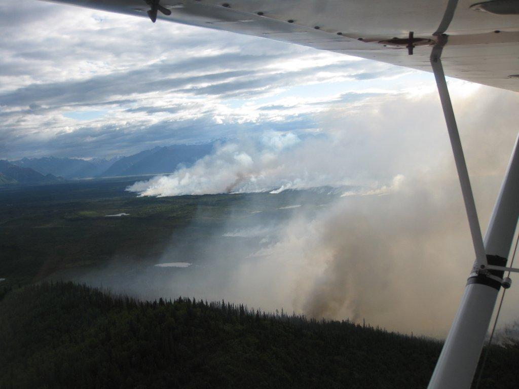
included precautionary site protection for two cabins-- sprinklers and removal of flammable vegetation -- and the fire was mapped to determine the perimeter.
The fire is located 82 miles east of Slana, 21 miles northeast of Chisana, 19 miles west of Beaver Creek, Canada and approximately 14 miles southwest of the Alaska Highway border crossing. The State of Alaska Division of Forestry is monitoring the fire closely to document fire behavior and growth, while consulting with the fire management officers from the U.S. Fish and Wildlife Service, National Park Service, and Yukon Territory in Canada. Fire managers will take action if structures or natural or cultural resources are threatened. None are threatened at this time. The fire will be flown again at 5:00 p.m. today.
Information will be updated when significant changes in fire activity occur. Information and photos are also available at http://inciweb.org/incident/3440/.
Smoke will be visible and even heavy at times, in both Alaska and Canada. In Alaska, smoke will be likely visible throughout the Copper River Basin, from the Alaska-Canada border crossing, and along portions of the Alaska Highway. Wildland fire smoke information is available at http://www.dec.state.ak.us/air/smokemain.htm. If smoke becomes an impact to the highway, motorists are asked to use caution by slowing down and driving with their headlights on.
Several fires are burning statewide. For interagency wildland fire information, visit http://fire.ak.blm.gov or call 907-356-5511. Information about fires burning on National Park Service lands throughout Alaska is provided at http://www.nps.gov/wrst/parkmgmt/currentfireinfo.htm. For additional information, please contact Mark Keogh at 907-822-7223.


No comments:
Post a Comment