Showing posts with label Yukon. Show all posts

Saturday, October 5, 2013

Alaska Outdoor News - October 5

Fortymile River from Taylor Highway
Fortymile River from Taylor Highway (Photo credit: Wikipedia)

  • Car junkyard becomes prized Alaska fishing spot...Anchorage Daily News
  • 5 charges slapped on Alaska lodge owners accused of baiting bears...Alaska Dispatch
  • It’s been a record year for commercial fishermen in Southeast Alaska, with more than 100 million salmon caught in the region for the first time ever....Juneau Empire
  • One of the two backers of Alaska's controversial Pebble Mine pulled out of the project...Puget Sound Business Journal
  • Scott Johnson and his moose hunting partners see an occasional Fortymile caribou as they travel along the Yukon River between Eagle and Circle, but nothing like they saw last week....Fairbanks News Miner


Sunday, June 30, 2013

Heavy Rain Slows Chisana River Fire


June 29, 2013
Beaver Creek, Yukon –– Heavy rain has dampened growth and activity on the Chisana River Fire in Alaska’s Eastern Interior. As a result, the international team managing the fire from Beaver Creek, Yukon, Canada is disbanding after a productive, cooperative effort. The Alaska Division of Forestry will continue to monitor the fire.

The fire was started by lightning May 31and is burning in Wrangell-St. Elias National Park and in the Tetlin National Wildlife Refuge. It is estimated at approximately 45,950 acres. The slight decrease in acreage from the previous estimate is due to better mapping of the fire.

No resources are threatened by the fire, but fire managers have developed contingency plans and are prepared to take action if that changes. The fire is approximately 13 miles west of the Canadian border, 17.5 miles west of Beaver Creek, Yukon, Canada and 21 miles northeast of Chisana.

Saturday, June 22, 2013

Rain takes toll on Wrangell-St. Elias's Chisana Blaze

Rain has helped to slow the growth of the Chisana River Fire and moderated the
spread of smoke. The fire, which was started by lightning on May 21, has grown to 29,910 acres.The fire made small movements to the east in parts of Wrangell-St. Elias National Park and the Tetlin National Wildlife Refuge.It remains approximately 13 miles from the Alaska Highway and 18 miles west of Beaver Creek, Yukon, Canada.

The State of Alaska Division of Forestry is monitoring the fire closely and consulting with the fire management officers from the U.S. Fish and Wildlife Service, National Park Service, and Yukon Territory in Canada. Despite the rain, vegetation in the area remains dry and conditions can change rapidly. Fire managers will take action if structures or natural or cultural resources are threatened, based on statewide firefighting priorities and resources available. None are threatened at this time.

The fire has created a smoky haze over the Alaska Highway, however visibility remains good.If smoke impacts the highway, motorists are asked to use caution by slowing down and driving with their headlights on.Updated information on travel conditions can be found at http://511.alaska.gov.

Wildland fire smoke information is available at http://www.dec.state.ak.us/air/smokemain.htm.

A Fuels and Fire Behavior Advisory remains in effect for most of Alaska, due to record heat and dry fuels.Read more at: http://fire.ak.blm.gov/content/weather/outlooks/FFBehavior.pdf.

Information will be updated when significant changes in fire activity occur. . Information about fires burning on National Park Service lands throughout Alaska is provided at http://www.nps.gov/wrst/parkmgmt/currentfireinfo.htm

Friday, June 21, 2013

Chisana River Fire Growth Slows

Copper Center, Alaska –– The Chisana River Fire activity slowed on June 19 moving in a southerly direction on the east side of the River with isolated and group torching.The fire grew from 25,566 to 29,287 acres. Wednesday's actions
included precautionary site protection for two cabins-- sprinklers and removal of flammable vegetation -- and the fire was mapped to determine the perimeter.

The fire is located 82 miles east of Slana, 21 miles northeast of Chisana, 19 miles west of Beaver Creek, Canada and approximately 14 miles southwest of the Alaska Highway border crossing. The State of Alaska Division of Forestry is monitoring the fire closely to document fire behavior and growth, while consulting with the fire management officers from the U.S. Fish and Wildlife Service, National Park Service, and Yukon Territory in Canada. Fire managers will take action if structures or natural or cultural resources are threatened. None are threatened at this time. The fire will be flown again at 5:00 p.m. today.

Information will be updated when significant changes in fire activity occur. Information and photos are also available at http://inciweb.org/incident/3440/.

Smoke will be visible and even heavy at times, in both Alaska and Canada. In Alaska, smoke will be likely visible throughout the Copper River Basin, from the Alaska-Canada border crossing, and along portions of the Alaska Highway. Wildland fire smoke information is available at http://www.dec.state.ak.us/air/smokemain.htm. If smoke becomes an impact to the highway, motorists are asked to use caution by slowing down and driving with their headlights on.

Several fires are burning statewide. For interagency wildland fire information, visit http://fire.ak.blm.gov or call 907-356-5511. Information about fires burning on National Park Service lands throughout Alaska is provided at http://www.nps.gov/wrst/parkmgmt/currentfireinfo.htm. For additional information, please contact Mark Keogh at 907-822-7223.

Wednesday, June 19, 2013

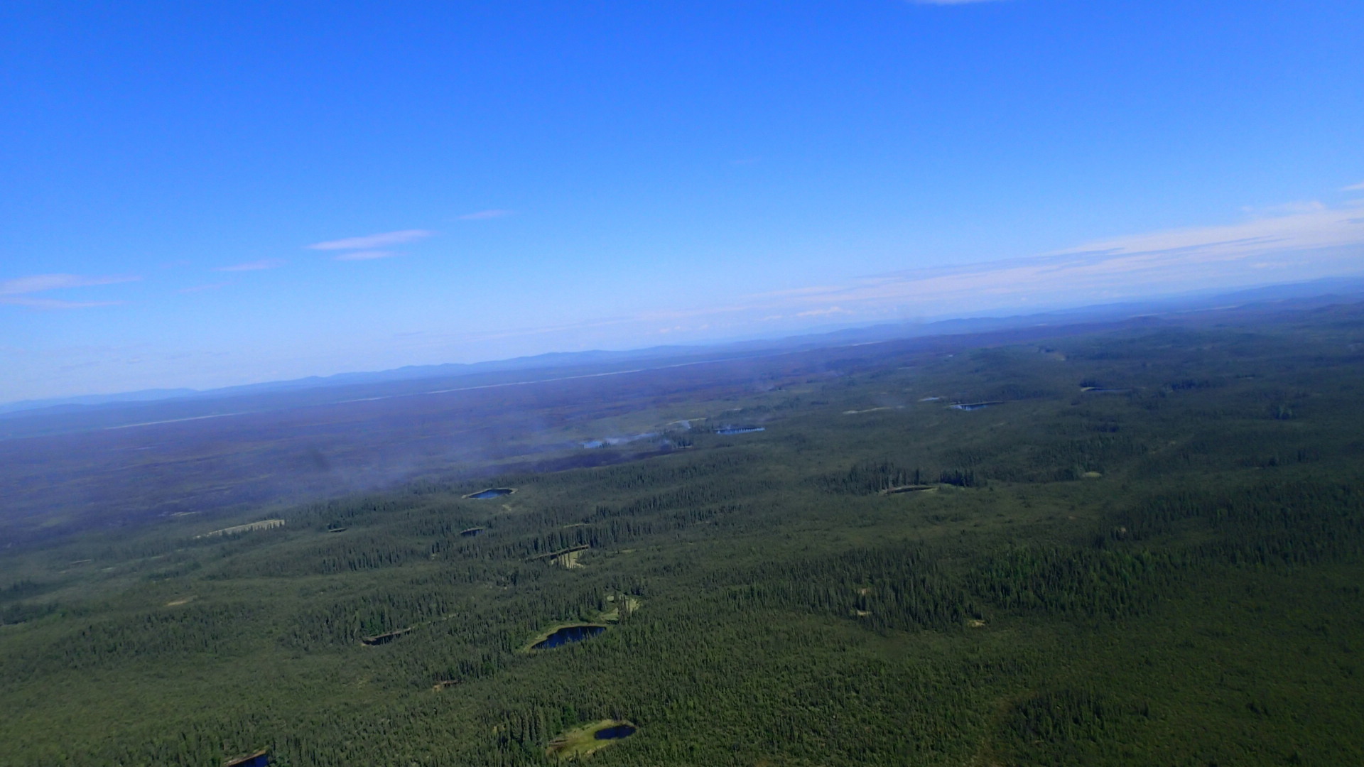
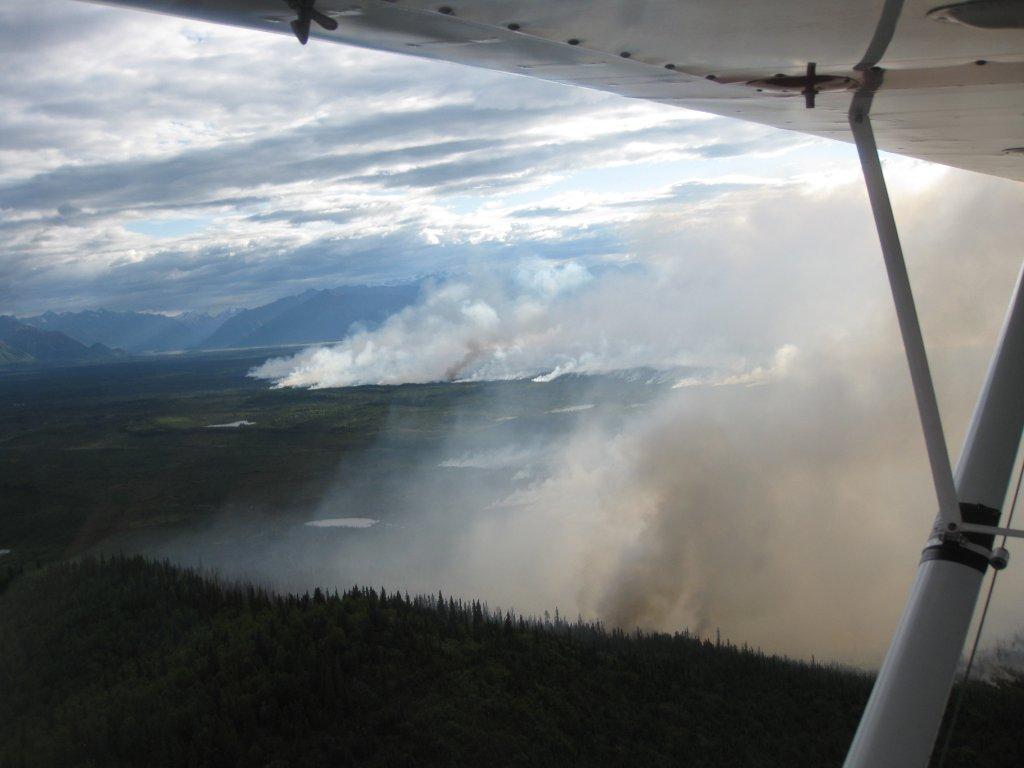
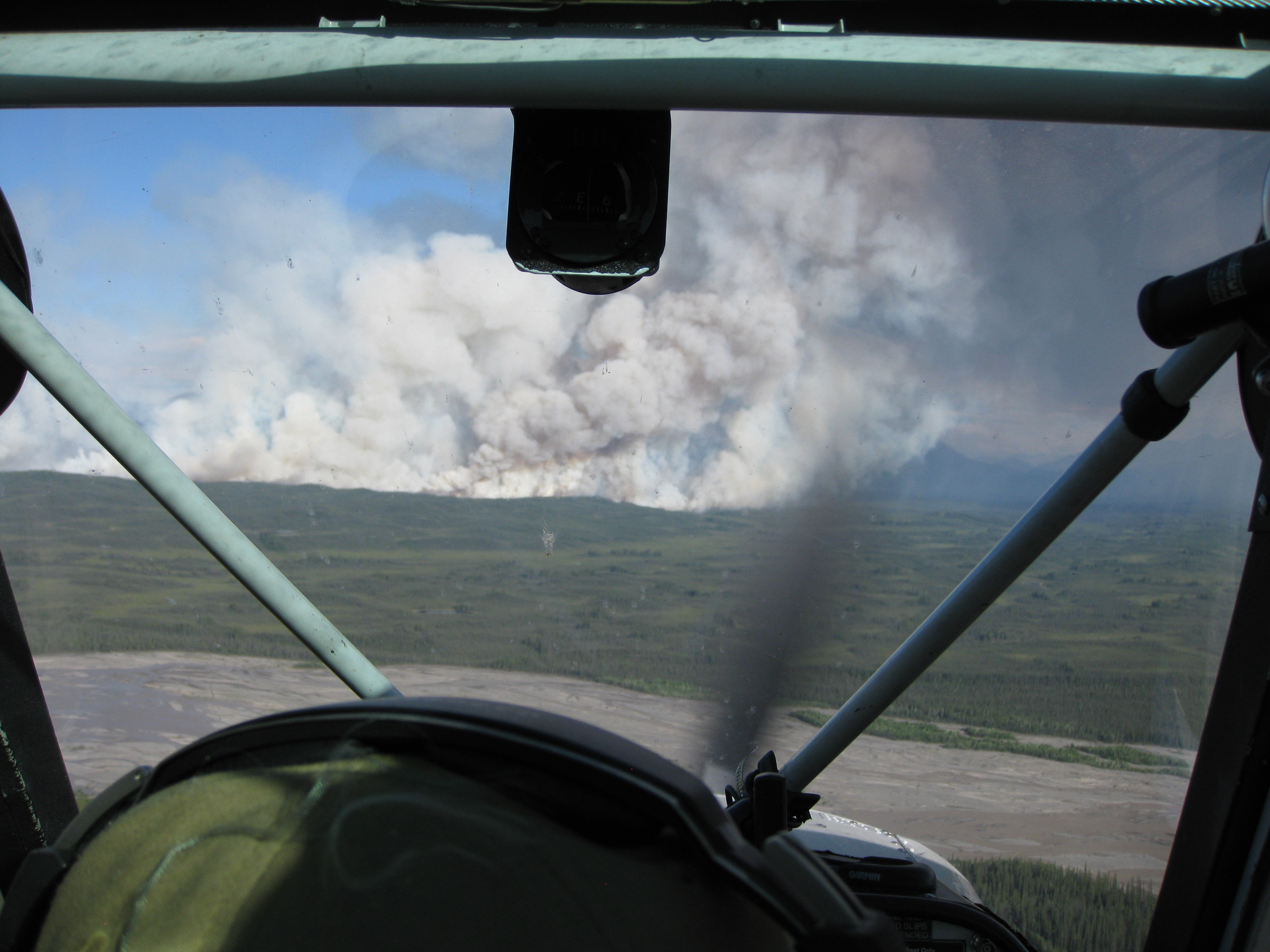
Amazing Images of Alaska Wildfire

Due to continued hot and dry conditions, the Chisana River Fire grew from 2,900 acres to 7,718 acres June 17. The wildfire moved south from Tetlin Wildlife Refuge into northeastern Wrangell-St. Elias NP. As of June 17, the wildfire had
burned 3,847 acres in Tetlin Wildlife Refuge and 3,871 acres in Wrangell-St. Elias NP. The increased fire activity resulted in a 10,000 foot column of smoke that was visible from the Alaska Highway in Yukon Territory, Gulkana and McCarthy. Smoke from the fire can likely be seen and smelled in the Copper River Basin. Today, forecast extreme fire conditions will likely contribute to continued large fire growth and a large and visible column of smoke.

The Chisana River Fire is located 82 miles east of Slana, 37 miles northeast of Chisana, 19 miles southwest of Beaver Creek, Canada and approximately 14 miles southwest of the Alaska Highway border crossing. The U.S. Fish and Wildlife Service, Wrangell-St. Elias NP and State of Alaska Division of Forestry fire staff will continue to monitor the fire closely, documenting fire behavior and growth. Interagency fire managers will take action if structures, natural or cultural resources are threatened. None are threatened at this time. Fire managers are also communicating with Yukon Territory officials on a daily basis.

Staff are allowing the wildfire to take its natural course. Wildfire is a natural process in the boreal forest. It is nature's way of renewing and revitalizing the landscape. Naturally-caused wildfires have on occasion burned in the northeastern portion of Wrangell-St. Elias and Tetlin National Wildlife Refuge. Visit http://www.nps.gov/wrst/parkmgmt/loader.cfm?csModule=security/getfile&pageID=385664 to see a map of the area's wildfire history.

Visit http://www.nps.gov/wrst/parkmgmt/currentfireinfo.htm for current fire information.